 vesseltracker.com
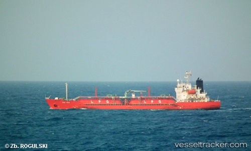
 Gas Aria
Current Status
Where is the vessel?
Gas Aria is currently in 14 nm SW of Pulau Indah, based on AIS data received less than 1h ago.
Latest AIS update:
Current position: 2.74507° N, 101.17933° E (14 nm SW of Pulau Indah)
Average speed (last 7 days): Loading…
Average speed (last 30 days): Loading…
Vessel profile: Gas Aria is a Lpg Tanker with dimensions 106m x 106m.
This page combines live AIS, route history, probable destination signals, nearby traffic, and port activity for practical vessel monitoring.
The current position of vessel Gas Aria is 2.74507 lat / 101.17933 lng. Updated: 2026-04-01 08:12:02 UTCNearest reference points:
- Near Pulau Indah
- 21 nm SW of Pulau Indah
- Near Carey Island Estate
Currently sailing under the flag of Indonesia ![]()
Gas Aria built in 2007 year
Deadweight:
5349 tDetails:
Live Vessel Gas Aria Analytics (details, animations, etc.)
Recent AIS points (UTC):
2026-04-01 02:25:58 UTC · 2.02386, 102.17522 · SOG 11.9 kn · COG 310°2026-04-01 03:35:26 UTC · 2.17652, 101.98917 · SOG 12.9 kn · COG 310°
2026-04-01 05:54:11 UTC · 2.51223, 101.59273 · SOG 13.6 kn · COG 311°
2026-04-01 08:12:02 UTC · 2.74507, 101.17933 · SOG 11.1 kn · COG 295°