 vesseltracker.com
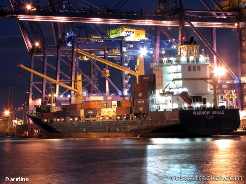
 SL HARRIER
Current Status
Where is the vessel?
SL HARRIER is currently in 16 nm NE of Santa Lucia, based on AIS data received about 1h ago.
Latest AIS update:
Current position: 22.93359° N, 83.84998° W (16 nm NE of Santa Lucia)
Average speed (last 7 days): Loading…
Average speed (last 30 days): Loading…
Vessel profile: SL HARRIER is a Container Ship with dimensions m x m.
This page combines live AIS, route history, probable destination signals, nearby traffic, and port activity for practical vessel monitoring.
The current position of vessel SL HARRIER is 22.93359 lat / -83.84998 lng. Updated: 2026-04-05 03:42:15 UTCNearest reference points:
- Near Mariel
- Near ALAMEDA DEL SIBONEY
- 40 nm S of Florida Straits
Currently sailing under the flag of Liberia ![]()
Details:
Live Vessel SL HARRIER Analytics (details, animations, etc.)
Recent AIS points (UTC):
2026-04-04 21:43:03 UTC · 23.72009, -82.30979 · SOG 15.2 kn · COG 252°2026-04-04 23:54:46 UTC · 23.44282, -82.84972 · SOG 16.1 kn · COG 243°
2026-04-05 01:35:52 UTC · 23.21595, -83.29498 · SOG 16.8 kn · COG 241°
2026-04-05 03:42:15 UTC · 22.93359, -83.84998 · SOG 16 kn · COG 242°