 SL HAWK
Current Status
Where is the vessel?
SL HAWK is currently in 99 nm SE of Charlotteville, based on AIS data received about 14h ago.
Latest AIS update:
Current position: 10.63539° N, 59.01905° W (99 nm SE of Charlotteville)
Average speed (last 7 days): Loading…
Average speed (last 30 days): Loading…
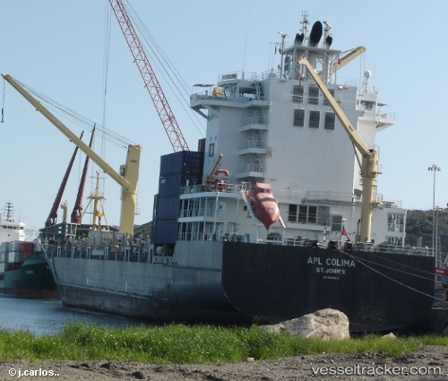
Vessel profile: SL HAWK is a Container Ship with dimensions m x m.
This page combines live AIS, route history, probable destination signals, nearby traffic, and port activity for practical vessel monitoring.
The current position of vessel SL HAWK is 10.63539 lat / -59.01905 lng. Updated: 2026-06-09 01:22:44 UTCNearest reference points:
- 16 nm E of Galeota Point
- Near POINT LISAS
- Near Saint Michael
Currently sailing under the flag of Liberia ![]()
Details:
Live Vessel SL HAWK Analytics (details, animations, etc.)
Recent AIS points (UTC):
2026-06-08 21:41:49 UTC · 11.22792, -59.18159 · SOG 9.3 kn · COG 159°2026-06-08 22:16:25 UTC · 11.14167, -59.15833 · SOG 9 kn · COG -1°
2026-06-09 00:06:39 UTC · 10.84809, -59.07692 · SOG 10.4 kn · COG 160°
2026-06-09 01:22:44 UTC · 10.63539, -59.01905 · SOG 10.3 kn · COG 160°