 vesseltracker.com
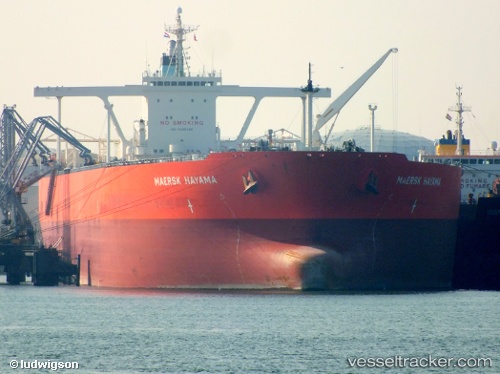
 Mercury Hope
Current Status
Where is the vessel?
Mercury Hope is currently in 16 nm N of Mirfa, based on AIS data received about 12h ago.
Latest AIS update:
Current position: 25.71083° N, 53.58689° E (16 nm N of Mirfa)
Average speed (last 7 days): Loading…
Average speed (last 30 days): Loading…
Vessel profile: Mercury Hope is a Crude Oil Tanker with dimensions 330m x 60m.
This page combines live AIS, route history, probable destination signals, nearby traffic, and port activity for practical vessel monitoring.
The current position of vessel Mercury Hope is 25.71083 lat / 53.58689 lng. Updated: 2026-03-30 08:45:52 UTCNearest reference points:
- 11 nm SW of Fateh Terminal
- Near Das Island
- 21 nm NE of Halul Island
Currently sailing under the flag of Panama ![]()
Mercury Hope built in 2011 year
Deadweight:
297221 tDetails:
Live Vessel Mercury Hope Analytics (details, animations, etc.)
Recent AIS points (UTC):
2026-03-30 03:49:49 UTC · 25.70637, 53.59279 · SOG 0.1 kn · COG -1°2026-03-30 08:45:52 UTC · 25.71083, 53.58689 · SOG 0.1 kn · COG -1°
2026-03-30 08:45:52 UTC · 25.71083, 53.58689 · SOG 0.1 kn · COG -1°
2026-03-30 08:45:52 UTC · 25.71083, 53.58689 · SOG 0.1 kn · COG -1°