 vesseltracker.com
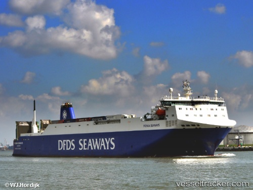
 JINANAH
Current Status
Where is the vessel?
JINANAH is currently in Near SCHEVENINGEN, based on AIS data received about 1h ago.
Latest AIS update:
Current position: 52.18756° N, 4.24262° E (Near SCHEVENINGEN)
Average speed (last 7 days): Loading…
Average speed (last 30 days): Loading…
Vessel profile: JINANAH is a Vehicles Carrier with dimensions m x m.
This page combines live AIS, route history, probable destination signals, nearby traffic, and port activity for practical vessel monitoring.
The current position of vessel JINANAH is 52.18756 lat / 4.24262 lng. Updated: 2026-04-02 21:47:07 UTCNearest reference points:
- Near SCHEVENINGEN
- Near HOEK VAN HOLLAND
- Near DELFT
Currently sailing under the flag of Marshall Islands ![]()
Details:
Live Vessel JINANAH Analytics (details, animations, etc.)
Recent AIS points (UTC):
2026-04-02 15:26:05 UTC · 52.18817, 4.24365 · SOG 0.2 kn · COG 269°2026-04-02 18:20:10 UTC · 52.18747, 4.24312 · SOG 0.7 kn · COG 2°
2026-04-02 19:44:06 UTC · 52.18753, 4.24296 · SOG 0.1 kn · COG 359°
2026-04-02 21:47:07 UTC · 52.18756, 4.24262 · SOG 0.2 kn · COG 15°