 vesseltracker.com
 Al Sadd
Current Status
Where is the vessel?
Al Sadd is currently in 256 nm W of LHOKNGA, based on AIS data received about 1h ago.
Latest AIS update:
Current position: 5.78333° N, 90.97167° E (256 nm W of LHOKNGA)
Average speed (last 7 days): Loading…
Average speed (last 30 days): Loading…
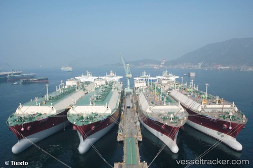
Vessel profile: Al Sadd is a Lng Tanker with dimensions 315m x 50m.
This page combines live AIS, route history, probable destination signals, nearby traffic, and port activity for practical vessel monitoring.
The current position of vessel Al Sadd is 5.78333 lat / 90.97167 lng. Updated: 2026-04-17 15:13:21 UTCNearest reference points:
- 243 nm E of Abakaliki
- 172 nm W of LHOKNGA
- 160 nm W of Sebang
Currently sailing under the flag of Marshall Is ![]()
Al Sadd built in 2009 year
Deadweight:
121913 tDetails:
Live Vessel Al Sadd Analytics (details, animations, etc.)
Recent AIS points (UTC):
2026-04-17 09:56:11 UTC · 5.80492, 91.16574 · SOG 1.4 kn · COG 51°2026-04-17 11:49:18 UTC · 5.82333, 91.12833 · SOG 1 kn · COG -1°
2026-04-17 13:28:21 UTC · 5.83833, 91.09167 · SOG 2 kn · COG -1°
2026-04-17 15:13:21 UTC · 5.78333, 90.97167 · SOG 17 kn · COG -1°