 vesseltracker.com
 MEGHNA ENERGY
Current Status
Where is the vessel?
MEGHNA ENERGY is currently in 134 nm NE of Dung Quat Petroleum Port, based on AIS data received about 1d ago.
Latest AIS update:
Current position: 16.24025° N, 110.98480° E (134 nm NE of Dung Quat Petroleum Port)
Average speed (last 7 days): Loading…
Average speed (last 30 days): Loading…
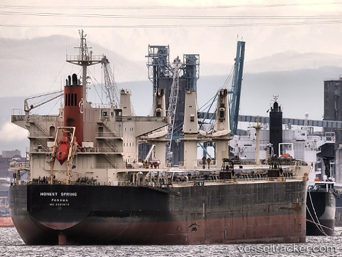
Vessel profile: MEGHNA ENERGY is a Bulk Carrier with dimensions 32m x 190m.
This page combines live AIS, route history, probable destination signals, nearby traffic, and port activity for practical vessel monitoring.
The current position of vessel MEGHNA ENERGY is 16.24025 lat / 110.98480 lng. Updated: 2026-04-10 08:10:36 UTCNearest reference points:
- 157 nm SE of Xincun
- 37 nm SE of Houan
- 26 nm SE of Wanning
Currently sailing under the flag of Bangladesh ![]()
MEGHNA ENERGY built in 2008 year
Deadweight:
55641 tDetails:
Live Vessel MEGHNA ENERGY Analytics (details, animations, etc.)
Recent AIS points (UTC):
2026-04-10 01:40:17 UTC · 17.13183, 111.23332 · SOG 8.9 kn · COG 197°2026-04-10 04:12:56 UTC · 16.77763, 111.13798 · SOG 8 kn · COG 200°
2026-04-10 05:56:16 UTC · 16.54488, 111.07260 · SOG 8.2 kn · COG 202°
2026-04-10 08:10:36 UTC · 16.24025, 110.98480 · SOG 8.3 kn · COG 193°