 vesseltracker.com
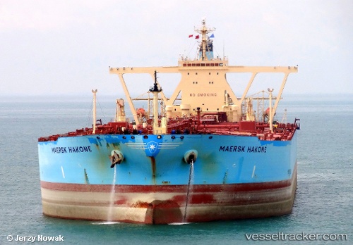
 SHIRAYUKI
Current Status
Where is the vessel?
SHIRAYUKI is currently in Near Mina' al Fahl, based on AIS data received less than 1h ago.
Latest AIS update:
Current position: 23.65208° N, 58.54067° E (Near Mina' al Fahl)
Average speed (last 7 days): Loading…
Average speed (last 30 days): Loading…
Vessel profile: SHIRAYUKI is a Crude Oil Tanker with dimensions m x m.
This page combines live AIS, route history, probable destination signals, nearby traffic, and port activity for practical vessel monitoring.
The current position of vessel SHIRAYUKI is 23.65208 lat / 58.54067 lng. Updated: 2026-04-17 16:03:27 UTCNearest reference points:
- 58 nm S of JASK
- 23 nm NE of Qalhat
- 42 nm SE of Offshore Fujairah
Currently sailing under the flag of Liberia ![]()
Details:
Live Vessel SHIRAYUKI Analytics (details, animations, etc.)
Recent AIS points (UTC):
2026-04-17 10:26:05 UTC · 23.65734, 58.53719 · SOG 1.6 kn · COG 132°2026-04-17 11:21:26 UTC · 23.65423, 58.54501 · SOG 0.3 kn · COG 191°
2026-04-17 13:45:27 UTC · 23.65329, 58.54120 · SOG 0.2 kn · COG 128°
2026-04-17 16:03:27 UTC · 23.65208, 58.54067 · SOG 0 kn · COG 98°