 vesseltracker.com
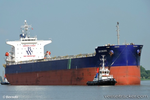
 DUKE II
Current Status
Where is the vessel?
DUKE II is currently in 69 nm W of Sanyang, based on AIS data received about 2h ago.
Latest AIS update:
Current position: 13.56841° N, 17.88990° W (69 nm W of Sanyang)
Average speed (last 7 days): Loading…
Average speed (last 30 days): Loading…
Vessel profile: DUKE II is a Bulk Carrier with dimensions m x m.
This page combines live AIS, route history, probable destination signals, nearby traffic, and port activity for practical vessel monitoring.
The current position of vessel DUKE II is 13.56841 lat / -17.88990 lng. Updated: 2026-03-29 01:15:02 UTCNearest reference points:
- Near Dakar
- Near Rufisque
- Near Banjul
Currently sailing under the flag of Marshall Islands ![]()
Details:
Live Vessel DUKE II Analytics (details, animations, etc.)
Recent AIS points (UTC):
2026-03-28 19:50:44 UTC · 14.58072, -18.05533 · SOG 11.4 kn · COG 171°2026-03-28 21:53:14 UTC · 14.19545, -17.99182 · SOG 11.3 kn · COG 174°
2026-03-29 00:10:04 UTC · 13.76388, -17.92126 · SOG 11.3 kn · COG 171°
2026-03-29 01:15:02 UTC · 13.56841, -17.88990 · SOG 10.6 kn · COG 169°