 vesseltracker.com
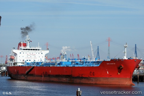
 SC EQUATOR
Current Status
Where is the vessel?
SC EQUATOR is currently in Near Panama, based on AIS data received about 1d ago.
Latest AIS update:
Current position: 8.84301° N, 79.50161° W (Near Panama)
Average speed (last 7 days): Loading…
Average speed (last 30 days): Loading…
Vessel profile: SC EQUATOR is a Oil/Chemical Tanker with dimensions m x m.
This page combines live AIS, route history, probable destination signals, nearby traffic, and port activity for practical vessel monitoring.
The current position of vessel SC EQUATOR is 8.84301 lat / -79.50161 lng. Updated: 2026-04-10 07:45:20 UTCNearest reference points:
- Near Panama
- Near El Chorrillo
- Near Melones
Currently sailing under the flag of Marshall Islands ![]()
Details:
Live Vessel SC EQUATOR Analytics (details, animations, etc.)
Recent AIS points (UTC):
2026-04-10 02:18:16 UTC · 8.84365, -79.50240 · SOG 0 kn · COG 38°2026-04-10 04:18:21 UTC · 8.84325, -79.50187 · SOG 0.1 kn · COG 17°
2026-04-10 06:27:26 UTC · 8.84290, -79.50141 · SOG 0 kn · COG 8°
2026-04-10 07:45:20 UTC · 8.84301, -79.50161 · SOG 0 kn · COG 9°