 vesseltracker.com
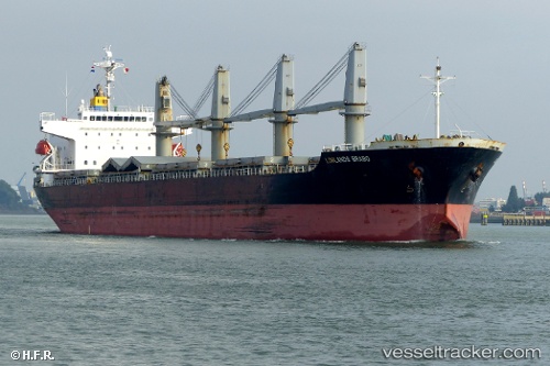
 NEREUS
Current Status
Where is the vessel?
NEREUS is currently in 22 nm E of Beira, based on AIS data received less than 1h ago.
Latest AIS update:
Current position: 19.95854° S, 35.18626° E (22 nm E of Beira)
Average speed (last 7 days): Loading…
Average speed (last 30 days): Loading…
Vessel profile: NEREUS is a General Cargo with dimensions m x m.
This page combines live AIS, route history, probable destination signals, nearby traffic, and port activity for practical vessel monitoring.
The current position of vessel NEREUS is -19.95854 lat / 35.18626 lng. Updated: 2026-03-31 23:25:09 UTCNearest reference points:
- 21 nm SE of Beira
- 24 nm SE of Beira
- 14 nm E of Beira
Currently sailing under the flag of Liberia ![]()
Details:
Live Vessel NEREUS Analytics (details, animations, etc.)
Recent AIS points (UTC):
2026-03-31 17:43:09 UTC · -19.95772, 35.18958 · SOG 0.3 kn · COG 197°2026-03-31 19:25:08 UTC · -19.95710, 35.18863 · SOG 0 kn · COG 186°
2026-03-31 21:31:09 UTC · -19.95789, 35.18646 · SOG 0.1 kn · COG 125°
2026-03-31 23:25:09 UTC · -19.95854, 35.18626 · SOG 0.1 kn · COG 118°