 vesseltracker.com
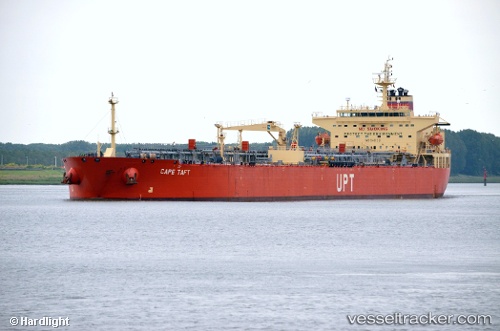
Cape Taft
Current StatusWhere is the vessel?
Cape Taft is currently in 46 nm N of San Juan, based on AIS data received about 1h ago.
Latest AIS update:
Current position: 19.20667° N, 66.33167° W (46 nm N of San Juan)
Average speed (last 7 days): Loading…
Average speed (last 30 days): Loading…
Vessel profile: Cape Taft is a Crude Oil Tanker with dimensions 32m x 228m.
This page combines live AIS, route history, probable destination signals, nearby traffic, and port activity for practical vessel monitoring.
The current position of vessel Cape Taft is 19.20667 lat / -66.33167 lng. Updated: 2026-03-31 00:03:11 UTCNearest reference points:
- Near San Juan
- 24 nm N of CULEBRA
- Near Roosevelt Roads
Details:
Live Vessel Cape Taft Analytics (details, animations, etc.)
Recent AIS points (UTC):
2026-03-30 17:52:26 UTC · 18.33896, -65.16336 · SOG 14.3 kn · COG 353°2026-03-30 20:10:28 UTC · 18.69803, -65.56173 · SOG 13.5 kn · COG 308°
2026-03-30 21:27:39 UTC · 18.86932, -65.81516 · SOG 13.7 kn · COG 307°
2026-03-31 00:03:11 UTC · 19.20667, -66.33167 · SOG 13 kn · COG -1°