 vesseltracker.com
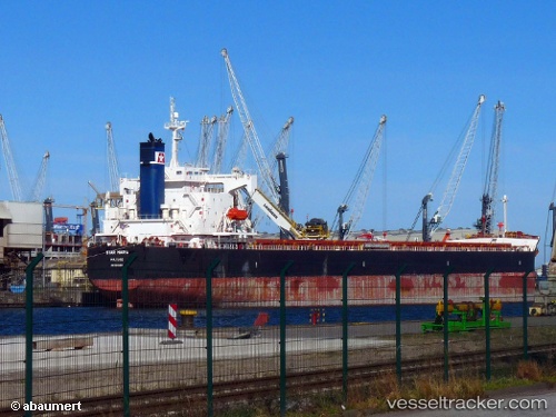
Star Maria
Current StatusWhere is the vessel?
Star Maria is currently in 35 nm SE of Port Elizabeth, based on AIS data received about 1h ago.
Latest AIS update:
Current position: 34.23926° S, 26.32064° E (35 nm SE of Port Elizabeth)
Average speed (last 7 days): Loading…
Average speed (last 30 days): Loading…
Vessel profile: Star Maria is a Bulk Carrier with dimensions 32m x 229m.
This page combines live AIS, route history, probable destination signals, nearby traffic, and port activity for practical vessel monitoring.
The current position of vessel Star Maria is -34.23926 lat / 26.32064 lng. Updated: 2026-03-28 15:40:00 UTCNearest reference points:
- Near Deal Party
- 21 nm S of Mount Pleasant
Details:
Live Vessel Star Maria Analytics (details, animations, etc.)
Recent AIS points (UTC):
2026-03-28 10:23:00 UTC · -33.74024, 27.51006 · SOG 13.3 kn · COG 221°2026-03-28 11:45:11 UTC · -33.96266, 27.24609 · SOG 14 kn · COG 222°
2026-03-28 13:30:14 UTC · -34.15088, 26.83731 · SOG 12.9 kn · COG 249°
2026-03-28 15:40:00 UTC · -34.23926, 26.32064 · SOG 10.9 kn · COG 261°