 vesseltracker.com
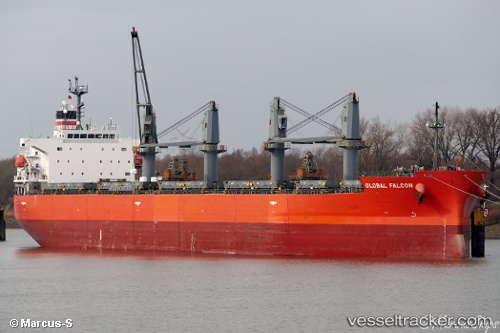
 SEA FALCON
Current Status
Where is the vessel?
SEA FALCON is currently in 29 nm W of Dale Roads, based on AIS data received less than 1h ago.
Latest AIS update:
Current position: 51.58098° N, 5.89562° W (29 nm W of Dale Roads)
Average speed (last 7 days): Loading…
Average speed (last 30 days): Loading…
Vessel profile: SEA FALCON is a Bulk Carrier with dimensions m x m.
This page combines live AIS, route history, probable destination signals, nearby traffic, and port activity for practical vessel monitoring.
The current position of vessel SEA FALCON is 51.58098 lat / -5.89562 lng. Updated: 2026-04-10 00:27:49 UTCNearest reference points:
- Near WEXFORD
- 10 nm NW of Grampound
- Near ARKLOW
Currently sailing under the flag of Marshall Islands ![]()
Details:
Live Vessel SEA FALCON Analytics (details, animations, etc.)
Recent AIS points (UTC):
2026-04-09 18:17:37 UTC · 50.45120, -6.42369 · SOG 10.7 kn · COG 13°2026-04-09 19:21:45 UTC · 50.64010, -6.32902 · SOG 11.2 kn · COG 14°
2026-04-09 21:21:09 UTC · 51.00623, -6.15964 · SOG 11.6 kn · COG 14°
2026-04-10 00:27:49 UTC · 51.58098, -5.89562 · SOG 12 kn · COG -1°