 vesseltracker.com
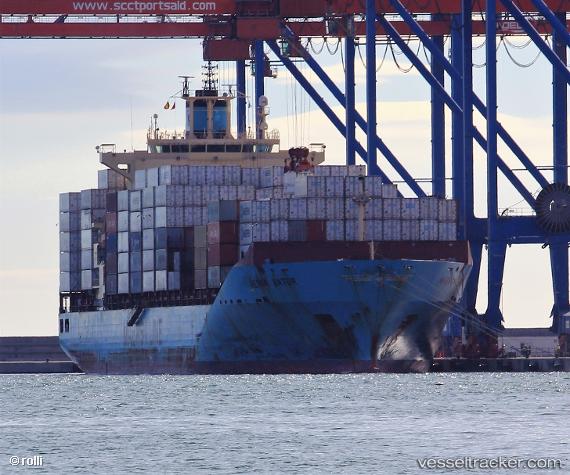
 Maersk Batur
Current Status
Where is the vessel?
Maersk Batur is currently in 141 nm S of Limetree Bay, based on AIS data received about 2h ago.
Latest AIS update:
Current position: 15.35667° N, 65.12500° W (141 nm S of Limetree Bay)
Average speed (last 7 days): Loading…
Average speed (last 30 days): Loading…
Vessel profile: Maersk Batur is a Container Ship with dimensions 223m x 32m.
This page combines live AIS, route history, probable destination signals, nearby traffic, and port activity for practical vessel monitoring.
The current position of vessel Maersk Batur is 15.35667 lat / -65.12500 lng. Updated: 2026-03-30 17:36:43 UTCNearest reference points:
- 82 nm S of Santa Isabel
- 10 nm SE of Limetree Bay
- Near Frederiksted
Currently sailing under the flag of Singapore ![]()
Maersk Batur built in 2009 year
Deadweight:
43273 tDetails:
Live Vessel Maersk Batur Analytics (details, animations, etc.)
Recent AIS points (UTC):
2026-03-30 11:15:41 UTC · 15.89833, -63.75833 · SOG 13 kn · COG -1°2026-03-30 13:57:42 UTC · 15.65333, -64.36500 · SOG 15 kn · COG -1°
2026-03-30 15:57:44 UTC · 15.48833, -64.78500 · SOG 13 kn · COG -1°
2026-03-30 17:36:43 UTC · 15.35667, -65.12500 · SOG 12 kn · COG -1°