 vesseltracker.com
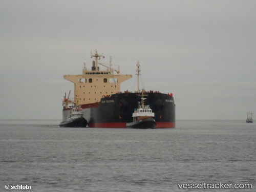
 VELA STAR
Current Status
Where is the vessel?
VELA STAR is currently in 271 nm SW of Harriet Harbour, based on AIS data received about 1h ago.
Latest AIS update:
Current position: 50.10977° N, 137.70058° W (271 nm SW of Harriet Harbour)
Average speed (last 7 days): Loading…
Average speed (last 30 days): Loading…
Vessel profile: VELA STAR is a Bulk Carrier with dimensions m x m.
This page combines live AIS, route history, probable destination signals, nearby traffic, and port activity for practical vessel monitoring.
The current position of vessel VELA STAR is 50.10977 lat / -137.70058 lng. Updated: 2026-04-05 07:55:38 UTCNearest reference points:
- 249 nm NE of Lukovica pri Domzalah
Currently sailing under the flag of Marshall Islands ![]()
Details:
Live Vessel VELA STAR Analytics (details, animations, etc.)
Recent AIS points (UTC):
2026-04-05 02:13:24 UTC · 50.51335, -139.21153 · SOG 11.5 kn · COG 114°2026-04-05 03:59:31 UTC · 50.38572, -138.71516 · SOG 11.7 kn · COG 114°
2026-04-05 05:41:18 UTC · 50.27927, -138.26994 · SOG 11.7 kn · COG 116°
2026-04-05 07:55:38 UTC · 50.10977, -137.70058 · SOG 11.4 kn · COG 118°