 vesseltracker.com
 SAFESEA JANAKI
Current Status
Where is the vessel?
SAFESEA JANAKI is currently in Near Juan Dolio, based on AIS data received about 1h ago.
Latest AIS update:
Current position: 18.41167° N, 69.36666° W (Near Juan Dolio)
Average speed (last 7 days): Loading…
Average speed (last 30 days): Loading…
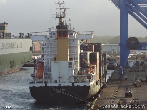
Vessel profile: SAFESEA JANAKI is a Container Ship with dimensions m x m.
This page combines live AIS, route history, probable destination signals, nearby traffic, and port activity for practical vessel monitoring.
The current position of vessel SAFESEA JANAKI is 18.41167 lat / -69.36666 lng. Updated: 2026-03-27 05:40:43 UTCNearest reference points:
- Near CASA DE CAMPO
- 32 nm N of Punta Cana Apt
- Near Bahia De Las Calderas
Currently sailing under the flag of Panama ![]()
Details:
Live Vessel SAFESEA JANAKI Analytics (details, animations, etc.)
Recent AIS points (UTC):
2026-03-26 23:19:40 UTC · 18.41167, -69.36666 · SOG 0 kn · COG -1°2026-03-27 01:22:42 UTC · 18.41167, -69.36666 · SOG 0 kn · COG -1°
2026-03-27 04:01:44 UTC · 18.41167, -69.36666 · SOG 0 kn · COG -1°
2026-03-27 05:40:43 UTC · 18.41167, -69.36666 · SOG 0 kn · COG -1°