 vesseltracker.com
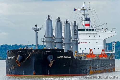
 ANNA BARBARA
Current Status
Where is the vessel?
ANNA BARBARA is currently in 31 nm SW of Florida Straits, based on AIS data received about 1h ago.
Latest AIS update:
Current position: 24.07833° N, 83.42333° W (31 nm SW of Florida Straits)
Average speed (last 7 days): Loading…
Average speed (last 30 days): Loading…
Vessel profile: ANNA BARBARA is a Bulk Carrier with dimensions m x m.
This page combines live AIS, route history, probable destination signals, nearby traffic, and port activity for practical vessel monitoring.
The current position of vessel ANNA BARBARA is 24.07833 lat / -83.42333 lng. Updated: 2026-04-03 21:04:00 UTCNearest reference points:
- 14 nm W of Florida Straits
- 40 nm S of Florida Straits
- Near Mariel
Currently sailing under the flag of Liberia ![]()
Details:
Live Vessel ANNA BARBARA Analytics (details, animations, etc.)
Recent AIS points (UTC):
2026-04-03 15:58:00 UTC · 23.74000, -82.67833 · SOG 9 kn · COG -1°2026-04-03 17:39:59 UTC · 23.72167, -82.97833 · SOG 10 kn · COG -1°
2026-04-03 19:42:58 UTC · 23.89500, -83.27167 · SOG 9 kn · COG -1°
2026-04-03 21:04:00 UTC · 24.07833, -83.42333 · SOG 10 kn · COG -1°