 vesseltracker.com
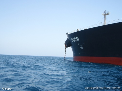
 JAYA
JAYA
Current Status
Where is the vessel?
JAYA is currently in 13 nm SE of Paradip, based on AIS data received less than 1h ago.
Latest AIS update:
Current position: 20.08109° N, 86.82811° E (13 nm SE of Paradip)
Average speed (last 7 days): Loading…
Average speed (last 30 days): Loading…
Vessel profile: JAYA is a Crude Oil Tanker with dimensions m x m.
This page combines live AIS, route history, probable destination signals, nearby traffic, and port activity for practical vessel monitoring.
The current position of vessel JAYA is 20.08109 lat / 86.82811 lng. Updated: 2026-04-13 03:50:56 UTCNearest reference points:
- Near Paradip
- Near Paradip Garh
- 45 nm S of Contai
Currently sailing under the flag of Curacao ![]()
Details:
Live Vessel JAYA Analytics (details, animations, etc.)
Recent AIS points (UTC):
2026-04-12 21:38:56 UTC · 20.08159, 86.82757 · SOG 0.1 kn · COG 232°2026-04-12 23:53:56 UTC · 20.08171, 86.82753 · SOG 0 kn · COG 234°
2026-04-13 02:08:56 UTC · 20.08095, 86.82819 · SOG 0.1 kn · COG 246°
2026-04-13 03:50:56 UTC · 20.08109, 86.82811 · SOG 0.2 kn · COG 242°