 vesseltracker.com
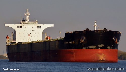
 GENCO TITUS
Current Status
Where is the vessel?
GENCO TITUS is currently in 20 nm S of Cape Of Good Hope, based on AIS data received about 20h ago.
Latest AIS update:
Current position: 34.69108° S, 18.32144° E (20 nm S of Cape Of Good Hope)
Average speed (last 7 days): Loading…
Average speed (last 30 days): Loading…
Vessel profile: GENCO TITUS is a Bulk Carrier with dimensions 45m x 292m.
This page combines live AIS, route history, probable destination signals, nearby traffic, and port activity for practical vessel monitoring.
The current position of vessel GENCO TITUS is -34.69108 lat / 18.32144 lng. Updated: 2026-04-10 07:26:33 UTCNearest reference points:
- 18 nm SW of Cape Of Good Hope
- 15 nm SE of Moorreesburg
- Near HOUT BAY
Currently sailing under the flag of Marshall Islands ![]()
GENCO TITUS built in 2007 year
Deadweight:
177729 tDetails:
Live Vessel GENCO TITUS Analytics (details, animations, etc.)
Recent AIS points (UTC):
2026-04-10 02:28:32 UTC · -34.13587, 18.05026 · SOG 9.9 kn · COG 215°2026-04-10 03:50:32 UTC · -34.29903, 17.86669 · SOG 9.9 kn · COG 191°
2026-04-10 05:59:13 UTC · -34.57641, 18.06697 · SOG 10 kn · COG 114°
2026-04-10 07:26:33 UTC · -34.69108, 18.32144 · SOG 9.9 kn · COG 130°