 vesseltracker.com
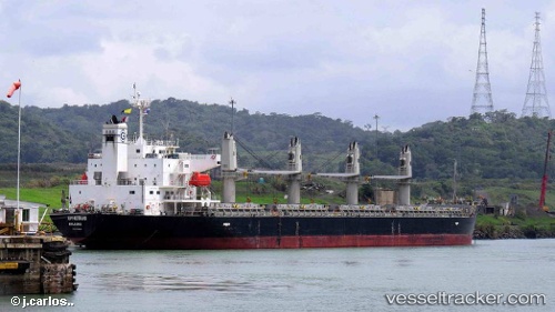
 AMIRA LAYLA
Current Status
Where is the vessel?
AMIRA LAYLA is currently in Near Bejaia, based on AIS data received about 23h ago.
Latest AIS update:
Current position: 36.72082° N, 5.19780° E (Near Bejaia)
Average speed (last 7 days): Loading…
Average speed (last 30 days): Loading…
Vessel profile: AMIRA LAYLA is a Bulk Carrier with dimensions m x m.
This page combines live AIS, route history, probable destination signals, nearby traffic, and port activity for practical vessel monitoring.
The current position of vessel AMIRA LAYLA is 36.72082 lat / 5.19780 lng. Updated: 2026-04-10 07:24:18 UTCNearest reference points:
- Near Bejaia
- Near Carmona
- Near Zamoranos
Currently sailing under the flag of San Marino ![]()
Details:
Live Vessel AMIRA LAYLA Analytics (details, animations, etc.)
Recent AIS points (UTC):
2026-04-10 02:27:13 UTC · 36.72208, 5.19836 · SOG 0 kn · COG 273°2026-04-10 03:48:18 UTC · 36.72182, 5.19841 · SOG 0 kn · COG 282°
2026-04-10 06:00:16 UTC · 36.72131, 5.19817 · SOG 0 kn · COG 292°
2026-04-10 07:24:18 UTC · 36.72082, 5.19780 · SOG 0 kn · COG 316°