 vesseltracker.com
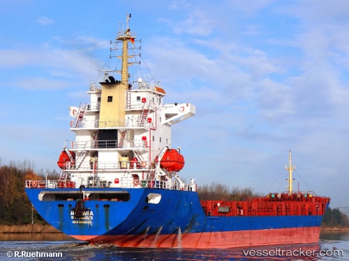
 SELAM
SELAM
Current Status
Where is the vessel?
SELAM is currently in 80 nm E of Polychnitos Lesvou, based on AIS data received about 3h ago.
Latest AIS update:
Current position: 33.58443° N, 27.65201° E (80 nm E of Polychnitos Lesvou)
Average speed (last 7 days): Loading…
Average speed (last 30 days): Loading…
Vessel profile: SELAM is a General Cargo with dimensions m x m.
This page combines live AIS, route history, probable destination signals, nearby traffic, and port activity for practical vessel monitoring.
The current position of vessel SELAM is 33.58443 lat / 27.65201 lng. Updated: 2026-03-28 03:57:42 UTCNearest reference points:
- 91 nm SE of Polychnitos Lesvou
- 129 nm NW of ABU QIR
- 108 nm S of Kastellorizou (ex Megísti)
Currently sailing under the flag of Saint Kitts and Nevis ![]()
Details:
Live Vessel SELAM Analytics (details, animations, etc.)
Recent AIS points (UTC):
2026-03-27 22:22:32 UTC · 32.91878, 28.41346 · SOG 10.5 kn · COG 316°2026-03-28 00:24:31 UTC · 33.18139, 28.12607 · SOG 10.6 kn · COG 313°
2026-03-28 01:22:01 UTC · 33.29892, 27.98965 · SOG 9.7 kn · COG 311°
2026-03-28 03:57:42 UTC · 33.58443, 27.65201 · SOG 9.1 kn · COG 314°