 vesseltracker.com
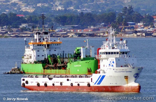
 Osman Bey
Current Status
Where is the vessel?
Osman Bey is currently in Near EREN, based on AIS data received less than 1h ago.
Latest AIS update:
Current position: 41.58449° N, 32.06710° E (Near EREN)
Average speed (last 7 days): Loading…
Average speed (last 30 days): Loading…
Vessel profile: Osman Bey is a Offshore Tug Supply Ship with dimensions 73m x 16m.
This page combines live AIS, route history, probable destination signals, nearby traffic, and port activity for practical vessel monitoring.
The current position of vessel Osman Bey is 41.58449 lat / 32.06710 lng. Updated: 2026-03-31 17:41:10 UTCNearest reference points:
- Near Erdemir
- Near Cide
- 27 nm NW of INEBOLU
Currently sailing under the flag of Turkey ![]()
Osman Bey built in 2009 year
Deadweight:
3250 tDetails:
Live Vessel Osman Bey Analytics (details, animations, etc.)
Recent AIS points (UTC):
2026-03-31 11:23:06 UTC · 41.58450, 32.06714 · SOG 0 kn · COG 344°2026-03-31 13:38:13 UTC · 41.58449, 32.06711 · SOG 0 kn · COG 344°
2026-03-31 16:23:07 UTC · 41.58449, 32.06712 · SOG 0 kn · COG 344°
2026-03-31 17:41:10 UTC · 41.58449, 32.06710 · SOG 0.1 kn · COG 344°