 vesseltracker.com
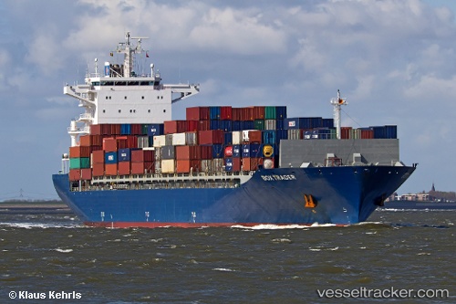
 NORDIA
Current Status
Where is the vessel?
NORDIA is currently in Near Dar es Salaam, based on AIS data received about 3h ago.
Latest AIS update:
Current position: 6.65980° S, 39.32216° E (Near Dar es Salaam)
Average speed (last 7 days): Loading…
Average speed (last 30 days): Loading…
Vessel profile: NORDIA is a Container Ship with dimensions m x m.
This page combines live AIS, route history, probable destination signals, nearby traffic, and port activity for practical vessel monitoring.
The current position of vessel NORDIA is -6.65980 lat / 39.32216 lng. Updated: 2026-04-14 23:44:59 UTCNearest reference points:
- Near Dar Es Salaam
Currently sailing under the flag of Antigua and Barbuda ![]()
Details:
Live Vessel NORDIA Analytics (details, animations, etc.)
Recent AIS points (UTC):
2026-04-14 18:22:46 UTC · -6.66047, 39.32072 · SOG 0.1 kn · COG 130°2026-04-14 19:46:52 UTC · -6.66010, 39.32131 · SOG 0.2 kn · COG 147°
2026-04-14 22:14:50 UTC · -6.66001, 39.32142 · SOG 0.2 kn · COG 152°
2026-04-14 23:44:59 UTC · -6.65980, 39.32216 · SOG 0.6 kn · COG 167°