 vesseltracker.com
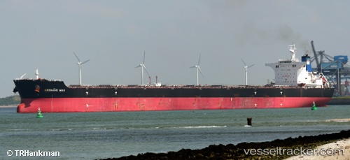
 SEA LYRA
Current Status
Where is the vessel?
SEA LYRA is currently in 12 nm NE of Boyne Island, based on AIS data received about 2h ago.
Latest AIS update:
Current position: 23.81833° S, 151.51833° E (12 nm NE of Boyne Island)
Average speed (last 7 days): Loading…
Average speed (last 30 days): Loading…
Vessel profile: SEA LYRA is a Bulk Carrier with dimensions m x m.
This page combines live AIS, route history, probable destination signals, nearby traffic, and port activity for practical vessel monitoring.
The current position of vessel SEA LYRA is -23.81833 lat / 151.51833 lng. Updated: 2026-03-27 03:23:22 UTCNearest reference points:
- Near Boyne Island
- Near Gladstone Harbor
- Near ROSSLYN
Currently sailing under the flag of Panama ![]()
Details:
Live Vessel SEA LYRA Analytics (details, animations, etc.)
Recent AIS points (UTC):
2026-03-26 21:31:29 UTC · -23.81754, 151.52135 · SOG 0 kn · COG 292°2026-03-27 00:19:36 UTC · -23.81695, 151.52136 · SOG 0 kn · COG 278°
2026-03-27 02:31:32 UTC · -23.81694, 151.52103 · SOG 0 kn · COG 277°
2026-03-27 03:23:22 UTC · -23.81833, 151.51833 · SOG 0 kn · COG -1°