 vesseltracker.com
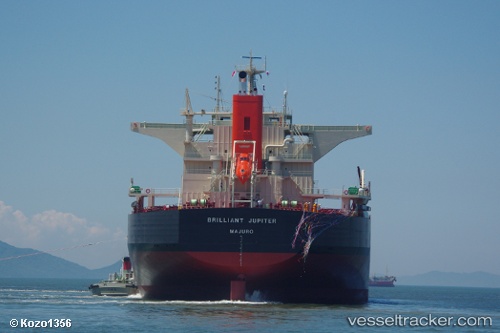
 H MANADO
Current Status
Where is the vessel?
H MANADO is currently in 70 nm N of KENDARI, based on AIS data received about 1h ago.
Latest AIS update:
Current position: 2.85444° S, 122.25021° E (70 nm N of KENDARI)
Average speed (last 7 days): Loading…
Average speed (last 30 days): Loading…
Vessel profile: H MANADO is a Bulk Carrier with dimensions m x m.
This page combines live AIS, route history, probable destination signals, nearby traffic, and port activity for practical vessel monitoring.
The current position of vessel H MANADO is -2.85444 lat / 122.25021 lng. Updated: 2026-04-17 21:43:43 UTCNearest reference points:
- 45 nm N of KENDARI
- 11 nm NW of KENDARI
- 22 nm S of Tangkiang
Currently sailing under the flag of Indonesia ![]()
Details:
Live Vessel H MANADO Analytics (details, animations, etc.)
Recent AIS points (UTC):
2026-04-17 15:28:38 UTC · -2.85364, 122.24652 · SOG 0 kn · COG 117°2026-04-17 18:01:41 UTC · -2.85424, 122.24671 · SOG 0 kn · COG 99°
2026-04-17 20:19:44 UTC · -2.85623, 122.24925 · SOG 0.2 kn · COG 338°
2026-04-17 21:43:43 UTC · -2.85444, 122.25021 · SOG 0 kn · COG 270°