 vesseltracker.com
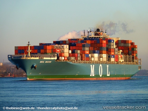
 ONE MAXIM
Current Status
Where is the vessel?
ONE MAXIM is currently in 227 nm N of ANEGADA, based on AIS data received about 1h ago.
Latest AIS update:
Current position: 22.40513° N, 63.50639° W (227 nm N of ANEGADA)
Average speed (last 7 days): Loading…
Average speed (last 30 days): Loading…
Vessel profile: ONE MAXIM is a Container Ship with dimensions m x m.
This page combines live AIS, route history, probable destination signals, nearby traffic, and port activity for practical vessel monitoring.
The current position of vessel ONE MAXIM is 22.40513 lat / -63.50639 lng. Updated: 2026-03-28 20:09:45 UTCNearest reference points:
- 126 nm NE of Sombrero
Currently sailing under the flag of Japan ![]()
Details:
Live Vessel ONE MAXIM Analytics (details, animations, etc.)
Recent AIS points (UTC):
2026-03-28 13:32:33 UTC · 23.30439, -65.06643 · SOG 15.3 kn · COG 122°2026-03-28 15:27:09 UTC · 23.04111, -64.61171 · SOG 15.4 kn · COG 120°
2026-03-28 17:29:47 UTC · 22.76667, -64.13333 · SOG 15 kn · COG -1°
2026-03-28 20:09:45 UTC · 22.40513, -63.50639 · SOG 15.7 kn · COG 121°