 vesseltracker.com
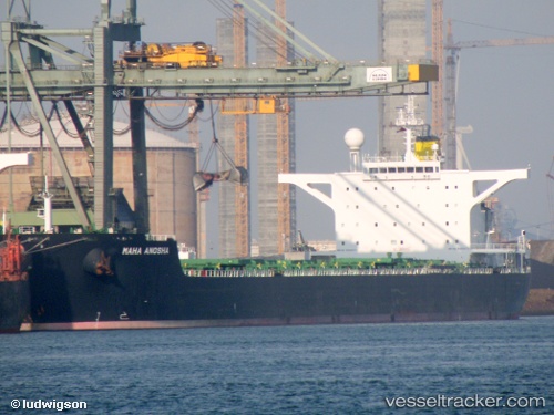
Maha Anosha
Current StatusWhere is the vessel?
Maha Anosha is currently in 240 nm SW of L'Étang-Salé, based on AIS data received about 2h ago.
Latest AIS update:
Current position: 24.27173° S, 52.51773° E (240 nm SW of L'Étang-Salé)
Average speed (last 7 days): Loading…
Average speed (last 30 days): Loading…
Vessel profile: Maha Anosha is a Bulk Carrier with dimensions 45m x 288m.
This page combines live AIS, route history, probable destination signals, nearby traffic, and port activity for practical vessel monitoring.
The current position of vessel Maha Anosha is -24.27173 lat / 52.51773 lng. Updated: 2026-03-27 02:06:06 UTCNearest reference points:
- 209 nm E of Manakara
- 194 nm E of Manakara
- 271 nm E of Fort Dauphin
Details:
Live Vessel Maha Anosha Analytics (details, animations, etc.)
Recent AIS points (UTC):
2026-03-26 19:54:57 UTC · -24.82500, 51.46667 · SOG 10 kn · COG -1°2026-03-26 22:19:14 UTC · -24.61492, 51.87255 · SOG 10.6 kn · COG 59°
2026-03-26 23:43:35 UTC · -24.48980, 52.11467 · SOG 10.7 kn · COG 63°
2026-03-27 02:06:06 UTC · -24.27173, 52.51773 · SOG 10.5 kn · COG 62°