 vesseltracker.com
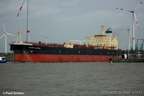
 JAG PRIYA
Current Status
Where is the vessel?
JAG PRIYA is currently in Near Dar es Salaam, based on AIS data received about 1h ago.
Latest AIS update:
Current position: 6.72394° S, 39.35088° E (Near Dar es Salaam)
Average speed (last 7 days): Loading…
Average speed (last 30 days): Loading…
Vessel profile: JAG PRIYA is a Oil Products Tanker with dimensions m x m.
This page combines live AIS, route history, probable destination signals, nearby traffic, and port activity for practical vessel monitoring.
The current position of vessel JAG PRIYA is -6.72394 lat / 39.35088 lng. Updated: 2026-04-02 09:44:33 UTCNearest reference points:
- Near Dar Es Salaam
Currently sailing under the flag of Marshall Islands ![]()
Details:
Live Vessel JAG PRIYA Analytics (details, animations, etc.)
Recent AIS points (UTC):
2026-04-02 04:17:33 UTC · -6.72222, 39.35347 · SOG 0 kn · COG 250°2026-04-02 05:23:31 UTC · -6.72266, 39.35316 · SOG 0.3 kn · COG 261°
2026-04-02 07:32:31 UTC · -6.72213, 39.35305 · SOG 0 kn · COG 243°
2026-04-02 09:44:33 UTC · -6.72394, 39.35088 · SOG 0.1 kn · COG 33°