 vesseltracker.com
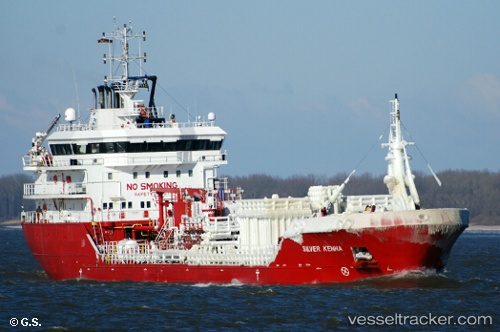
 MALONGO
Current Status
Where is the vessel?
MALONGO is currently in Near SOYO, based on AIS data received about 1h ago.
Latest AIS update:
Current position: 6.07578° S, 12.30352° E (Near SOYO)
Average speed (last 7 days): Loading…
Average speed (last 30 days): Loading…
Vessel profile: MALONGO is a Oil/Chemical Tanker with dimensions m x m.
This page combines live AIS, route history, probable destination signals, nearby traffic, and port activity for practical vessel monitoring.
The current position of vessel MALONGO is -6.07578 lat / 12.30352 lng. Updated: 2026-03-28 02:02:11 UTCNearest reference points:
- Near SOYO
- 11 nm W of Cabinda
- Near Futila Terminal
Currently sailing under the flag of Panama ![]()
Details:
Live Vessel MALONGO Analytics (details, animations, etc.)
Recent AIS points (UTC):
2026-03-27 20:05:11 UTC · -6.07581, 12.30334 · SOG 0.1 kn · COG 85°2026-03-27 21:32:09 UTC · -6.07555, 12.30321 · SOG 0 kn · COG 84°
2026-03-27 23:35:09 UTC · -6.07558, 12.30326 · SOG 0.1 kn · COG 92°
2026-03-28 02:02:11 UTC · -6.07578, 12.30352 · SOG 0.1 kn · COG 83°