 vesseltracker.com
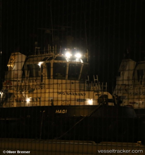
Hadi
Current StatusWhere is the vessel?
Hadi is currently in 14 nm SE of ZIRKU, based on AIS data received about 14h ago.
Latest AIS update:
Current position: 24.74853° N, 53.31649° E (14 nm SE of ZIRKU)
Average speed (last 7 days): Loading…
Average speed (last 30 days): Loading…
Vessel profile: Hadi is a Offshore Tug Supply Ship with dimensions 11m x 45m.
This page combines live AIS, route history, probable destination signals, nearby traffic, and port activity for practical vessel monitoring.
The current position of vessel Hadi is 24.74853 lat / 53.31649 lng. Updated: 2026-04-08 10:20:18 UTCNearest reference points:
- Near Das Island
- Near Yas Island
- Near Ar Ruways
Details:
Live Vessel Hadi Analytics (details, animations, etc.)
Recent AIS points (UTC):
2026-04-08 09:50:09 UTC · 24.77118, 53.30284 · SOG 3.8 kn · COG 160°2026-04-08 10:20:18 UTC · 24.74853, 53.31649 · SOG 6.9 kn · COG -1°
2026-04-08 10:20:18 UTC · 24.74853, 53.31649 · SOG 6.9 kn · COG -1°
2026-04-08 10:20:18 UTC · 24.74853, 53.31649 · SOG 6.9 kn · COG -1°