 vesseltracker.com
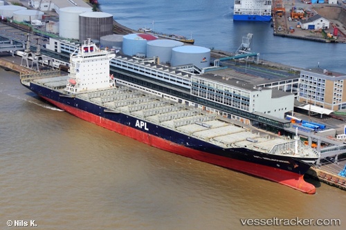
 ANL OTAGO
Current Status
Where is the vessel?
ANL OTAGO is currently in 89 nm E of Port Irene, based on AIS data received about 4h ago.
Latest AIS update:
Current position: 18.55333° N, 123.64333° E (89 nm E of Port Irene)
Average speed (last 7 days): Loading…
Average speed (last 30 days): Loading…
Vessel profile: ANL OTAGO is a Container Ship with dimensions m x m.
This page combines live AIS, route history, probable destination signals, nearby traffic, and port activity for practical vessel monitoring.
The current position of vessel ANL OTAGO is 18.55333 lat / 123.64333 lng. Updated: 2026-04-05 04:58:56 UTCNearest reference points:
- 88 nm E of Port Irene
- 55 nm SE of Port Irene
Currently sailing under the flag of Liberia ![]()
Details:
Live Vessel ANL OTAGO Analytics (details, animations, etc.)
Recent AIS points (UTC):
2026-04-04 22:40:55 UTC · 19.65333, 122.40667 · SOG 14 kn · COG -1°2026-04-05 01:01:56 UTC · 19.24000, 122.85500 · SOG 15 kn · COG -1°
2026-04-05 02:40:56 UTC · 18.95833, 123.18667 · SOG 14 kn · COG -1°
2026-04-05 04:58:56 UTC · 18.55333, 123.64333 · SOG 15 kn · COG -1°