 vesseltracker.com
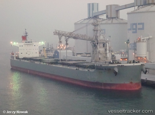
 PELAGIA
Current Status
Where is the vessel?
PELAGIA is currently in 22 nm SE of Mtwalume, based on AIS data received less than 1h ago.
Latest AIS update:
Current position: 30.65692° S, 31.01188° E (22 nm SE of Mtwalume)
Average speed (last 7 days): Loading…
Average speed (last 30 days): Loading…
Vessel profile: PELAGIA is a Bulk Carrier with dimensions m x m.
This page combines live AIS, route history, probable destination signals, nearby traffic, and port activity for practical vessel monitoring.
The current position of vessel PELAGIA is -30.65692 lat / 31.01188 lng. Updated: 2026-04-13 06:21:35 UTCNearest reference points:
- Near Island View
- Near Durban
- Near Umhlanga Rocks
Currently sailing under the flag of Malta ![]()
Details:
Live Vessel PELAGIA Analytics (details, animations, etc.)
Recent AIS points (UTC):
2026-04-12 21:26:08 UTC · -28.98100, 32.35032 · SOG 14.2 kn · COG 212°2026-04-13 00:01:37 UTC · -29.49158, 31.95205 · SOG 14.2 kn · COG 217°
2026-04-13 03:21:46 UTC · -30.12175, 31.42866 · SOG 13.5 kn · COG 215°
2026-04-13 06:21:35 UTC · -30.65692, 31.01188 · SOG 12.2 kn · COG 227°