 vesseltracker.com
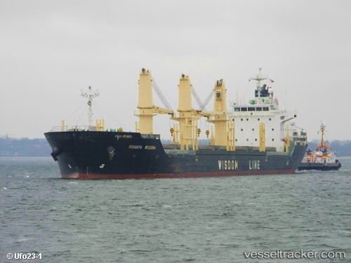
 ROXETTE
Current Status
Where is the vessel?
ROXETTE is currently in Near Port Said, based on AIS data received about 1h ago.
Latest AIS update:
Current position: 31.36667° N, 32.29167° E (Near Port Said)
Average speed (last 7 days): Loading…
Average speed (last 30 days): Loading…
Vessel profile: ROXETTE is a Bulk Carrier with dimensions m x m.
This page combines live AIS, route history, probable destination signals, nearby traffic, and port activity for practical vessel monitoring.
The current position of vessel ROXETTE is 31.36667 lat / 32.29167 lng. Updated: 2026-04-09 23:44:40 UTCNearest reference points:
- Near Port Said
- 14 nm N of Port Said
- 15 nm N of Port Said
Currently sailing under the flag of Barbados ![]()
Details:
Live Vessel ROXETTE Analytics (details, animations, etc.)
Recent AIS points (UTC):
2026-04-09 17:27:29 UTC · 31.36696, 32.29210 · SOG 0 kn · COG 310°2026-04-09 19:42:28 UTC · 31.36693, 32.29205 · SOG 0 kn · COG 310°
2026-04-09 21:59:41 UTC · 31.36667, 32.29167 · SOG 0 kn · COG -1°
2026-04-09 23:44:40 UTC · 31.36667, 32.29167 · SOG 0 kn · COG -1°