 vesseltracker.com
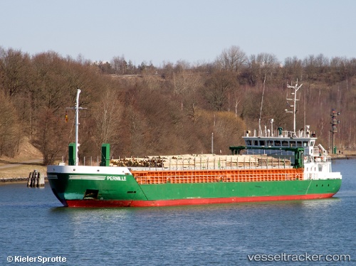
 PERNILLE
Current Status
Where is the vessel?
PERNILLE is currently in Near Rosenborg, based on AIS data received about 2h ago.
Latest AIS update:
Current position: 59.19310° N, 17.63218° E (Near Rosenborg)
Average speed (last 7 days): Loading…
Average speed (last 30 days): Loading…
Vessel profile: PERNILLE is a General Cargo with dimensions m x m.
This page combines live AIS, route history, probable destination signals, nearby traffic, and port activity for practical vessel monitoring.
The current position of vessel PERNILLE is 59.19310 lat / 17.63218 lng. Updated: 2026-04-16 23:25:56 UTCNearest reference points:
- Near SODERTALJE
- Near Stora Vika
- Near Segeltorp
Currently sailing under the flag of Antigua and Barbuda ![]()
Details:
Live Vessel PERNILLE Analytics (details, animations, etc.)
Recent AIS points (UTC):
2026-04-16 16:18:33 UTC · 59.59009, 16.52106 · SOG 0 kn · COG 223°2026-04-16 20:17:48 UTC · 59.52845, 17.06409 · SOG 10 kn · COG 88°
2026-04-16 21:58:27 UTC · 59.35880, 17.46689 · SOG 10.6 kn · COG 154°
2026-04-16 23:25:56 UTC · 59.19310, 17.63218 · SOG 0.3 kn · COG 178°