 vesseltracker.com
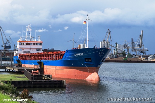
Anmare
Current StatusWhere is the vessel?
Anmare is currently in 31 nm NW of BIZERTE, based on AIS data received less than 1h ago.
Latest AIS update:
Current position: 37.63500° N, 9.42333° E (31 nm NW of BIZERTE)
Average speed (last 7 days): Loading…
Average speed (last 30 days): Loading…
Vessel profile: Anmare is a Multi Purpose Carrier with dimensions 13m x 88m.
This page combines live AIS, route history, probable destination signals, nearby traffic, and port activity for practical vessel monitoring.
The current position of vessel Anmare is 37.63500 lat / 9.42333 lng. Updated: 2026-03-30 18:04:48 UTCNearest reference points:
- 33 nm SE of Setubal
- 35 nm S of Setubal
- Near Le Kram
Details:
Live Vessel Anmare Analytics (details, animations, etc.)
Recent AIS points (UTC):
2026-03-30 12:02:46 UTC · 37.56667, 8.14833 · SOG 10 kn · COG -1°2026-03-30 13:45:21 UTC · 37.61667, 8.51167 · SOG 10 kn · COG -1°
2026-03-30 15:27:58 UTC · 37.65333, 8.88167 · SOG 9 kn · COG -1°
2026-03-30 18:04:48 UTC · 37.63500, 9.42333 · SOG 10 kn · COG -1°