 vesseltracker.com
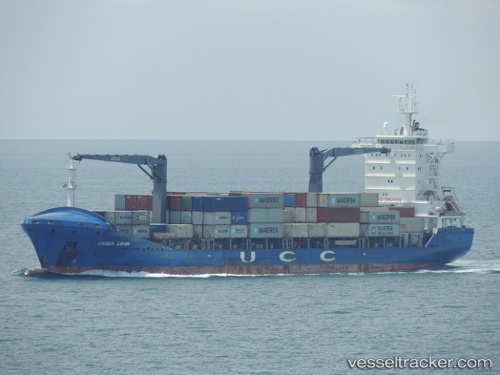
Contship Way
Current StatusWhere is the vessel?
Contship Way is currently in 86 nm NW of Jolo, based on AIS data received less than 1h ago.
Latest AIS update:
Current position: 7.37333° N, 120.40833° E (86 nm NW of Jolo)
Average speed (last 7 days): Loading…
Average speed (last 30 days): Loading…
Vessel profile: Contship Way is a Container Ship with dimensions 24m x 148m.
This page combines live AIS, route history, probable destination signals, nearby traffic, and port activity for practical vessel monitoring.
The current position of vessel Contship Way is 7.37333 lat / 120.40833 lng. Updated: 2026-04-01 03:38:43 UTCNearest reference points:
- 66 nm W of Jolo
- 21 nm NW of Zamboanga
- 14 nm SE of Zamboanga
Details:
Live Vessel Contship Way Analytics (details, animations, etc.)
Recent AIS points (UTC):
2026-03-31 19:42:00 UTC · 7.88333, 118.71167 · SOG 13 kn · COG -1°2026-03-31 21:39:43 UTC · 7.75333, 119.13333 · SOG 13 kn · COG -1°
2026-03-31 23:13:14 UTC · 7.65500, 119.46667 · SOG 13 kn · COG -1°
2026-04-01 03:38:43 UTC · 7.37333, 120.40833 · SOG 13 kn · COG -1°