 vesseltracker.com
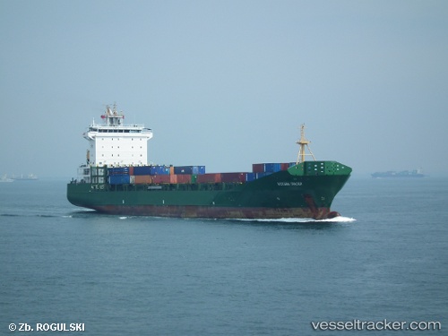
 TRADER
Current Status
Where is the vessel?
TRADER is currently in 14 nm W of TANJUNG PELEPAS, based on AIS data received about 1h ago.
Latest AIS update:
Current position: 1.27422° N, 103.32393° E (14 nm W of TANJUNG PELEPAS)
Average speed (last 7 days): Loading…
Average speed (last 30 days): Loading…
Vessel profile: TRADER is a Container Ship with dimensions m x m.
This page combines live AIS, route history, probable destination signals, nearby traffic, and port activity for practical vessel monitoring.
The current position of vessel TRADER is 1.27422 lat / 103.32393 lng. Updated: 2026-03-31 21:43:57 UTCNearest reference points:
- 15 nm W of Tanjong Bin
- 19 nm W of Tanjong Bin
- Near Tanjungbalai
Currently sailing under the flag of Liberia ![]()
Details:
Live Vessel TRADER Analytics (details, animations, etc.)
Recent AIS points (UTC):
2026-03-31 15:46:18 UTC · 1.68478, 102.68007 · SOG 8.2 kn · COG 113°2026-03-31 18:01:28 UTC · 1.54678, 102.93242 · SOG 7.7 kn · COG 121°
2026-03-31 19:40:49 UTC · 1.43390, 103.10704 · SOG 7.4 kn · COG -1°
2026-03-31 21:43:57 UTC · 1.27422, 103.32393 · SOG 8.5 kn · COG 132°