 vesseltracker.com
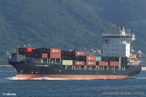
 BF TROUT
Current Status
Where is the vessel?
BF TROUT is currently in 21 nm E of MANGALIA, based on AIS data received less than 1h ago.
Latest AIS update:
Current position: 43.83374° N, 29.07183° E (21 nm E of MANGALIA)
Average speed (last 7 days): Loading…
Average speed (last 30 days): Loading…
Vessel profile: BF TROUT is a Container Ship with dimensions m x m.
This page combines live AIS, route history, probable destination signals, nearby traffic, and port activity for practical vessel monitoring.
The current position of vessel BF TROUT is 43.83374 lat / 29.07183 lng. Updated: 2026-04-15 11:39:19 UTCNearest reference points:
- 20 nm E of Eforie Sud
- Near Shabla
- Near Constanta
Currently sailing under the flag of Antigua and Barbuda ![]()
Details:
Live Vessel BF TROUT Analytics (details, animations, etc.)
Recent AIS points (UTC):
2026-04-15 06:00:50 UTC · 42.75273, 29.42863 · SOG 11.9 kn · COG 345°2026-04-15 08:02:47 UTC · 43.14277, 29.31381 · SOG 11.4 kn · COG 351°
2026-04-15 10:07:08 UTC · 43.53825, 29.20007 · SOG 12.1 kn · COG 349°
2026-04-15 11:39:19 UTC · 43.83374, 29.07183 · SOG 12.3 kn · COG 320°