 vesseltracker.com
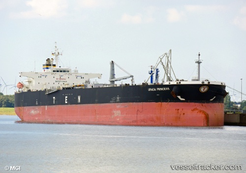
 URAGA PRINCESS
Current Status
Where is the vessel?
URAGA PRINCESS is currently in Near SUNGAI UDANG, based on AIS data received about 1h ago.
Latest AIS update:
Current position: 2.30123° N, 101.98375° E (Near SUNGAI UDANG)
Average speed (last 7 days): Loading…
Average speed (last 30 days): Loading…
Vessel profile: URAGA PRINCESS is a Crude Oil Tanker with dimensions m x m.
This page combines live AIS, route history, probable destination signals, nearby traffic, and port activity for practical vessel monitoring.
The current position of vessel URAGA PRINCESS is 2.30123 lat / 101.98375 lng. Updated: 2026-03-31 10:18:06 UTCNearest reference points:
- Near SUNGAI UDANG
- 14 nm W of SUNGAI UDANG
- Near Malacca
Details:
Live Vessel URAGA PRINCESS Analytics (details, animations, etc.)
Recent AIS points (UTC):
2026-03-31 03:33:06 UTC · 2.30230, 101.98033 · SOG 0 kn · COG 120°2026-03-31 05:54:06 UTC · 2.30300, 101.98067 · SOG 0.1 kn · COG 141°
2026-03-31 07:39:06 UTC · 2.30345, 101.98117 · SOG 0 kn · COG 156°
2026-03-31 10:18:06 UTC · 2.30123, 101.98375 · SOG 0 kn · COG 288°