 vesseltracker.com
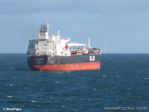
 Ridgebury Cindy A
Current Status
Where is the vessel?
Ridgebury Cindy A is currently in 113 nm SW of Veraval, based on AIS data received less than 1h ago.
Latest AIS update:
Current position: 19.19062° N, 69.49375° E (113 nm SW of Veraval)
Average speed (last 7 days): Loading…
Average speed (last 30 days): Loading…
Vessel profile: Ridgebury Cindy A is a Chemical Oil Products Tanker with dimensions 183m x 32m.
This page combines live AIS, route history, probable destination signals, nearby traffic, and port activity for practical vessel monitoring.
The current position of vessel Ridgebury Cindy A is 19.19062 lat / 69.49375 lng. Updated: 2026-04-02 15:28:03 UTCNearest reference points:
- 33 nm S of Mul Dwårka
- 236 nm SW of Veraval
- 54 nm S of Positra
Currently sailing under the flag of Marshall Is ![]()
Ridgebury Cindy A built in 2008 year
Deadweight:
50162 tDetails:
Live Vessel Ridgebury Cindy A Analytics (details, animations, etc.)
Recent AIS points (UTC):
2026-04-02 05:14:56 UTC · 21.07452, 69.00727 · SOG 12.2 kn · COG 177°2026-04-02 05:14:56 UTC · 21.07452, 69.00727 · SOG 12.2 kn · COG 177°
2026-04-02 13:15:39 UTC · 19.57752, 69.20282 · SOG 12.9 kn · COG -1°
2026-04-02 15:28:03 UTC · 19.19062, 69.49375 · SOG 12.8 kn · COG 142°