 vesseltracker.com
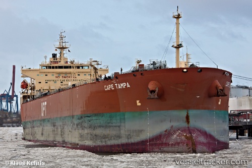
Cape Tampa
Current StatusWhere is the vessel?
Cape Tampa is currently in Near Southwest Pass, based on AIS data received about 2h ago.
Latest AIS update:
Current position: 28.88163° N, 89.34732° W (Near Southwest Pass)
Average speed (last 7 days): Loading…
Average speed (last 30 days): Loading…
Vessel profile: Cape Tampa is a Crude Oil Tanker with dimensions 32m x 228m.
This page combines live AIS, route history, probable destination signals, nearby traffic, and port activity for practical vessel monitoring.
The current position of vessel Cape Tampa is 28.88163 lat / -89.34732 lng. Updated: 2026-03-28 08:06:08 UTCNearest reference points:
- Near Pilottown
- 13 nm NE of Pilottown
- Near Port Sulphur
Details:
Live Vessel Cape Tampa Analytics (details, animations, etc.)
Recent AIS points (UTC):
2026-03-28 01:42:35 UTC · 28.51667, -89.70500 · SOG 14 kn · COG -1°2026-03-28 03:15:34 UTC · 28.79833, -89.45333 · SOG 12 kn · COG -1°
2026-03-28 05:21:34 UTC · 28.88167, -89.34667 · SOG 0 kn · COG -1°
2026-03-28 08:06:08 UTC · 28.88163, -89.34732 · SOG 0 kn · COG -1°