 vesseltracker.com
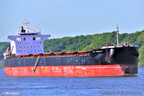
 MAGIC THUNDER
Current Status
Where is the vessel?
MAGIC THUNDER is currently in Near Henderson, based on AIS data received about 1h ago.
Latest AIS update:
Current position: 32.17166° S, 115.70047° E (Near Henderson)
Average speed (last 7 days): Loading…
Average speed (last 30 days): Loading…
Vessel profile: MAGIC THUNDER is a Bulk Carrier with dimensions 229m x 229m.
This page combines live AIS, route history, probable destination signals, nearby traffic, and port activity for practical vessel monitoring.
The current position of vessel MAGIC THUNDER is -32.17166 lat / 115.70047 lng. Updated: 2026-03-26 10:00:28 UTCNearest reference points:
- Near Kwinana
- Near Fremantle
- Near ROTTNEST ISLAND
Currently sailing under the flag of Marshall Islands ![]()
MAGIC THUNDER built in 2011 year
Deadweight:
83375 tDetails:
Live Vessel MAGIC THUNDER Analytics (details, animations, etc.)
Recent AIS points (UTC):
2026-03-26 03:26:43 UTC · -32.25333, 115.74333 · SOG 0 kn · COG -1°2026-03-26 06:18:40 UTC · -32.25363, 115.74340 · SOG 0.1 kn · COG 223°
2026-03-26 08:00:27 UTC · -32.17358, 115.69744 · SOG 0.1 kn · COG 88°
2026-03-26 10:00:28 UTC · -32.17166, 115.70047 · SOG 0 kn · COG 198°