 vesseltracker.com
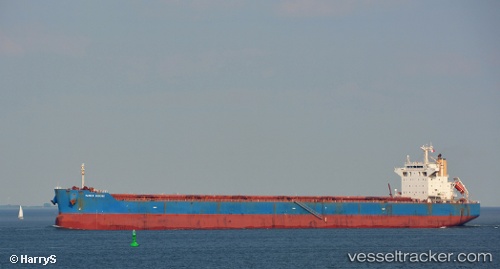
 STAR ELECTRA
Current Status
Where is the vessel?
STAR ELECTRA is currently in 39 nm SE of Kidd's Beach, based on AIS data received less than 1h ago.
Latest AIS update:
Current position: 33.71968° S, 28.02820° E (39 nm SE of Kidd's Beach)
Average speed (last 7 days): Loading…
Average speed (last 30 days): Loading…
Vessel profile: STAR ELECTRA is a Bulk Carrier with dimensions 32m x 230m.
This page combines live AIS, route history, probable destination signals, nearby traffic, and port activity for practical vessel monitoring.
The current position of vessel STAR ELECTRA is -33.71968 lat / 28.02820 lng. Updated: 2026-04-02 15:38:50 UTCNearest reference points:
- Near Deal Party
- 23 nm E of Port Saint John's
Currently sailing under the flag of Liberia ![]()
STAR ELECTRA built in 2011 year
Deadweight:
83494 tDetails:
Live Vessel STAR ELECTRA Analytics (details, animations, etc.)
Recent AIS points (UTC):
2026-04-02 09:46:37 UTC · -33.88032, 27.45312 · SOG 5.3 kn · COG 58°2026-04-02 12:14:56 UTC · -33.80629, 27.70140 · SOG 5.2 kn · COG 60°
2026-04-02 13:34:36 UTC · -33.77213, 27.83648 · SOG 5.1 kn · COG 61°
2026-04-02 15:38:50 UTC · -33.71968, 28.02820 · SOG 5.4 kn · COG 62°