 vesseltracker.com
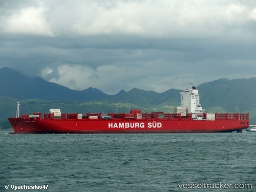
 Santa Ines
Current Status
Where is the vessel?
Santa Ines is currently in 64 nm SW of Villa Cisneros, based on AIS data received less than 1h ago.
Latest AIS update:
Current position: 23.04333° N, 16.97833° W (64 nm SW of Villa Cisneros)
Average speed (last 7 days): Loading…
Average speed (last 30 days): Loading…
Vessel profile: Santa Ines is a Container Ship with dimensions 300m x 44m.
This page combines live AIS, route history, probable destination signals, nearby traffic, and port activity for practical vessel monitoring.
The current position of vessel Santa Ines is 23.04333 lat / -16.97833 lng. Updated: 2026-04-10 04:19:53 UTCNearest reference points:
- Near DAKHLA
- 68 nm NW of Ad Dakhla
- 41 nm NW of Nouadhibou
Currently sailing under the flag of Denmark ![]()
Santa Ines built in 2012 year
Deadweight:
92910 tDetails:
Live Vessel Santa Ines Analytics (details, animations, etc.)
Recent AIS points (UTC):
2026-04-09 21:22:51 UTC · 21.58333, -17.75500 · SOG 13 kn · COG -1°2026-04-10 00:32:17 UTC · 22.24930, -17.41044 · SOG 13.8 kn · COG 28°
2026-04-10 02:34:50 UTC · 22.67333, -17.17333 · SOG 13 kn · COG -1°
2026-04-10 04:19:53 UTC · 23.04333, -16.97833 · SOG 13 kn · COG -1°