 vesseltracker.com
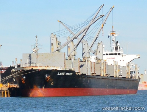
 PANORMITIS
Current Status
Where is the vessel?
PANORMITIS is currently in Near Haifa, based on AIS data received about 4h ago.
Latest AIS update:
Current position: 32.82413° N, 34.99800° E (Near Haifa)
Average speed (last 7 days): Loading…
Average speed (last 30 days): Loading…
Vessel profile: PANORMITIS is a Bulk Carrier with dimensions m x m.
This page combines live AIS, route history, probable destination signals, nearby traffic, and port activity for practical vessel monitoring.
The current position of vessel PANORMITIS is 32.82413 lat / 34.99800 lng. Updated: 2026-03-28 13:17:06 UTCNearest reference points:
- Near Haifa
- 22 nm W of Haifa Granaries
- Near DBAIYEH
Currently sailing under the flag of Panama ![]()
Details:
Live Vessel PANORMITIS Analytics (details, animations, etc.)
Recent AIS points (UTC):
2026-03-27 23:11:57 UTC · 32.82408, 34.99751 · SOG 0 kn · COG -1°2026-03-27 23:11:57 UTC · 32.82408, 34.99751 · SOG 0 kn · COG -1°
2026-03-28 13:17:06 UTC · 32.82413, 34.99800 · SOG 0.9 kn · COG 292°
2026-03-28 13:17:06 UTC · 32.82413, 34.99800 · SOG 0.9 kn · COG 292°