 vesseltracker.com
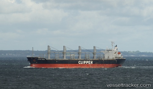
 SKY GATE
Current Status
Where is the vessel?
SKY GATE is currently in 24 nm NE of Kaukab Abu El-Hija, based on AIS data received about 1h ago.
Latest AIS update:
Current position: 33.07388° N, 15.31866° E (24 nm NE of Kaukab Abu El-Hija)
Average speed (last 7 days): Loading…
Average speed (last 30 days): Loading…
Vessel profile: SKY GATE is a Bulk Carrier with dimensions 169m x 27m.
This page combines live AIS, route history, probable destination signals, nearby traffic, and port activity for practical vessel monitoring.
The current position of vessel SKY GATE is 33.07388 lat / 15.31866 lng. Updated: 2026-04-08 16:14:19 UTCNearest reference points:
- Near MISURATA
- 22 nm NW of Tarabulus
Currently sailing under the flag of San Marino ![]()
SKY GATE built in 2008 year
Deadweight:
28397 tDetails:
Live Vessel SKY GATE Analytics (details, animations, etc.)
Recent AIS points (UTC):
2026-04-08 09:56:40 UTC · 32.67528, 14.24967 · SOG 0 kn · COG 216°2026-04-08 11:57:39 UTC · 32.71542, 14.39054 · SOG 11.4 kn · COG 64°
2026-04-08 13:59:48 UTC · 32.88566, 14.82604 · SOG 11.8 kn · COG 66°
2026-04-08 16:14:19 UTC · 33.07388, 15.31866 · SOG 12.4 kn · COG 67°