 vesseltracker.com
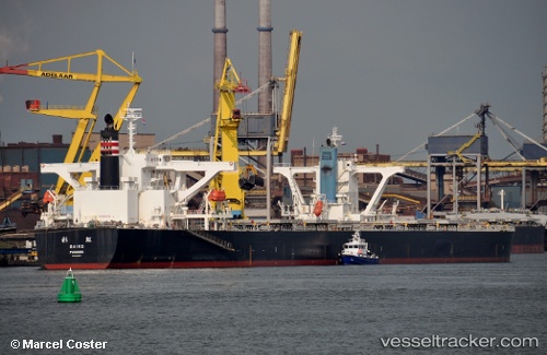
 SAIKO
SAIKO
Current Status
Where is the vessel?
SAIKO is currently in 238 nm SE of Tan Cang Qui Nhon, based on AIS data received about 1h ago.
Latest AIS update:
Current position: 12.06036° N, 113.50653° E (238 nm SE of Tan Cang Qui Nhon)
Average speed (last 7 days): Loading…
Average speed (last 30 days): Loading…
Vessel profile: SAIKO is a Bulk Carrier with dimensions m x m.
This page combines live AIS, route history, probable destination signals, nearby traffic, and port activity for practical vessel monitoring.
The current position of vessel SAIKO is 12.06036 lat / 113.50653 lng. Updated: 2026-04-01 09:20:00 UTCNearest reference points:
- 226 nm SE of Tan Cang Qui Nhon
- 220 nm N of Pulau Lang Lang
- 211 nm N of Pulau Lang Lang
Currently sailing under the flag of Japan ![]()
Details:
Live Vessel SAIKO Analytics (details, animations, etc.)
Recent AIS points (UTC):
2026-04-01 03:02:57 UTC · 11.21242, 112.88747 · SOG 10 kn · COG 32°2026-04-01 05:25:49 UTC · 11.53900, 113.10652 · SOG 9 kn · COG 35°
2026-04-01 07:29:47 UTC · 11.82216, 113.29833 · SOG 10 kn · COG 42°
2026-04-01 09:20:00 UTC · 12.06036, 113.50653 · SOG 10 kn · COG 43°