 vesseltracker.com
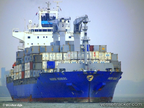
 SANTA MARTA EXPRESS
Current Status
Where is the vessel?
SANTA MARTA EXPRESS is currently in 10 nm N of Spiekeroog, based on AIS data received less than 1h ago.
Latest AIS update:
Current position: 53.93194° N, 7.61775° E (10 nm N of Spiekeroog)
Average speed (last 7 days): Loading…
Average speed (last 30 days): Loading…
Vessel profile: SANTA MARTA EXPRESS is a Container Ship with dimensions m x m.
This page combines live AIS, route history, probable destination signals, nearby traffic, and port activity for practical vessel monitoring.
The current position of vessel SANTA MARTA EXPRESS is 53.93194 lat / 7.61775 lng. Updated: 2026-04-02 13:56:46 UTCNearest reference points:
- Near Wangerooge
- Near Helgoland
- Near Horumersiel
Currently sailing under the flag of Liberia ![]()
Details:
Live Vessel SANTA MARTA EXPRESS Analytics (details, animations, etc.)
Recent AIS points (UTC):
2026-04-02 08:19:16 UTC · 54.68164, 7.24634 · SOG 9.8 kn · COG 180°2026-04-02 09:57:46 UTC · 54.41999, 7.32768 · SOG 9.7 kn · COG 173°
2026-04-02 12:00:37 UTC · 54.13256, 7.46829 · SOG 7.2 kn · COG 157°
2026-04-02 13:56:46 UTC · 53.93194, 7.61775 · SOG 7 kn · COG 175°