 vesseltracker.com
 CL AQABA
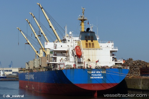
Current Status
Where is the vessel?
CL AQABA is currently in 43 nm NE of Kuala Namu Intl Apt/Medan, based on AIS data received about 1h ago.
Latest AIS update:
Current position: 4.21260° N, 99.26515° E (43 nm NE of Kuala Namu Intl Apt/Medan)
Average speed (last 7 days): Loading…
Average speed (last 30 days): Loading…
Vessel profile: CL AQABA is a Bulk Carrier with dimensions m x m.
This page combines live AIS, route history, probable destination signals, nearby traffic, and port activity for practical vessel monitoring.
The current position of vessel CL AQABA is 4.21260 lat / 99.26515 lng. Updated: 2026-03-31 13:28:35 UTCNearest reference points:
- 43 nm NE of Perbaungan
- 10 nm NE of Belawan
- Near Belawan
Currently sailing under the flag of Liberia ![]()
Details:
Live Vessel CL AQABA Analytics (details, animations, etc.)
Recent AIS points (UTC):
2026-03-31 07:40:33 UTC · 3.52707, 100.17786 · SOG 10.5 kn · COG 308°2026-03-31 09:25:01 UTC · 3.71760, 99.94007 · SOG 11.5 kn · COG -1°
2026-03-31 11:40:43 UTC · 4.00258, 99.56560 · SOG 12.6 kn · COG 305°
2026-03-31 13:28:35 UTC · 4.21260, 99.26515 · SOG 11.8 kn · COG 311°